![]()
![]()
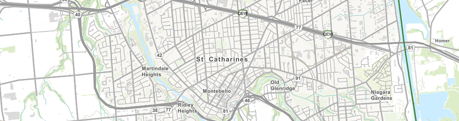
Explore and Understand Your Community
The St. Catharines CIVIC Maps (Community Interactive Visualization and Information Centre) system is a dynamic, interactive tool designed to give residents, visitors, and developers detailed insights into the city. With user-friendly features and a wide range of map layers, you can explore St. Catharines with ease and efficiency.What’s Included in the Mapping System?
City Layers
- City Limits: Explore boundaries of St. Catharines
- Roads: Navigate the city’s road network
- Parks: Locate green spaces throughout the city
- Schools: View school locations for easy planning
- Fire Hydrants: Identify hydrant placements
- Wards: See Ward boundaries and access Ward-specific details
- Property Lines: Find property demarcations across the city
- Building Permits (2010–Present): Explore historical and current permits
Planning and Land Use Layers
Official Plan: View St. Catharines’ official plan layers, including:
- District Land Use: Zoning at a district level
- General Land Use: Overall zoning and planning maps
- City Zoning: Specific zoning layers
...and more!
Interactive Tools and Features
Powerful Tools for Analysis
![]() Measurement Tool: Measure distances or areas directly on the map
Measurement Tool: Measure distances or areas directly on the map
![]() Drawing Tool: Mark and annotate the map with shapes and notes
Drawing Tool: Mark and annotate the map with shapes and notes
![]() Swipe Tool: Compare overlapping layers by swiping between them
Swipe Tool: Compare overlapping layers by swiping between them
![]() Near Me Feature: Locate permits, parks, Ward information, etc.
Near Me Feature: Locate permits, parks, Ward information, etc.
![]() Table Tool: Save customized map sections or download datasets for further use.
Table Tool: Save customized map sections or download datasets for further use.
![]() Zoning Lookup Tool: Access specific zoning details for properties
Zoning Lookup Tool: Access specific zoning details for properties
![]() Elevation Profile Tool: Calculate elevation changes by drawing directly on the map
Elevation Profile Tool: Calculate elevation changes by drawing directly on the map
| How to Use the Mapping System |
|
Navigating the system is simple. Here’s how to get started and make the most of its features:
|
Future Plans
We are continuously working to enhance this tool. Upcoming features may include:
- Active planning applications directly integrated into the system.
- Video tutorials and guides to help users navigate the tool effectively.